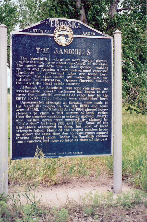
Nebraska Historical Marker: The Sandhills (Thomas)
Location
Rural Nebraska 2, Thedford, Thomas County, Nebraska
View this marker's location 41.982124, -100.5375
View a map of all Nebraska historical markers, Browse Historical Marker Map
Marker Text
The Sandhills, Nebraska's most unique physiographic feature, covers about one-fourth of the state. The sandy soil acts like a giant sponge, soaking up rain and forming a vast underground reservoir. Hundreds of permanent lakes are found here. However, the same sandy soil makes the area unsuitable for cultivation. Grasses flourish, making the Sandhills ideal cattle country. Although the Sandhills were long considered "an irreclaimable desert," cattlemen had begun to discover the Sandhills' potential as range land by the early 1870's. Huge ranches were established here. Unsuccessful attempts at farming were made in the Sandhills region in the late 1870's and again around 1890. The Kinkaid Act of 1904 allowed homesteaders to claim a full section of land, rather than the quarter-section previously allowed. Nearly nine million acres were successfully claimed by "Kinkaiders" between 1910 and 1917. Some of the Kinkaiders attempted to farm, but most of these attempts failed. Many of the largest ranches broke up about the same time due to regulations against fencing federal range. Today the Sandhills contain many ranches, but none so large as those of the past.
Further Information
Bibliography
Marker program
See the Nebraska Historical Marker Program for more information.
