Nebraska Historical Marker: Point of Beginning of the Public Land Surveys of the Sixth Principal Meridian
Location
Rulo-White Cloud Road at State Line, Richardson County, Nebraska
View this marker's location 40.000157, -95.33124
View a map of all Nebraska historical markers, Browse Historical Marker Map
Marker Text
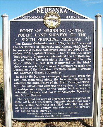
The Kansas-Nebraska Act of May 30, 1854 created the territories of Nebraska and Kansas, which had to be surveyed before settlement could proceed. In November 1854, Captain Thomas J. Lee of the U.S. Army Topographic Engineers determined the Fortieth Degree of North Latitude along the Missouri River. On May 8, 1855, the cast iron monument on the bluff above was erected by Charles A. Manners to mark the beginning of the base line (Fortieth Parallel) forming the Nebraska - Kansas boundary. In 1855-56 Manners surveyed westward from the cast iron monument along the base line 108 miles to establish the Initial Point of the Sixth Principal Meridian. The Initial Point controls the system of section, townships, and ranges of the public land surveys in Nebraska, Kansas, and parts of Colorado, Wyoming, and South Dakota. The original surveys of Nebraska were completed in 1883. All land transactions (patents, deeds, and easements) within Nebraska are filed with the register of deeds of each county and reference the corners set during these surveys.
Further Information
Bibliography
Marker program
See Nebraska Historical Marker Program for more information.

