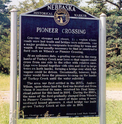
Nebraska Historical Marker: Pioneer Crossing
Location
Along Nebraska 4 east of intersection with "O" Rd, 3 miles west of Ragan, Harlan County, Nebraska
View this marker's location 40.306792, -99.34609
View a map of all Nebraska historical markers, Browse Historical Marker Map
Marker Text
Crossing streams and rivers, in a region where roads were but trails and bridges were unknown, was a major problem to emigrants traveling by team and wagon. To find or construct a ford, such as Wilson's or Pioneer Crossing, was always necessary. At an unknown date, a grading was cut in the steep banks of Turkey Creek near here so that wagons could cross from one side to the other with relative ease. Logs were bound together with wire and tied to large trees on both banks, forming a bridge over which the wagons could be driven. Occasionally, however, high water would force the pioneers to camp on the banks of Turkey Creek until the water subsided.
The area was first settled in the 1870's. Andrew Wilson, upon whose land the ford was located and from whom it received its name, received his final homestead patent for this land in 1884. During the 1880's, the name of the ford gradually changed from Wilson's to Pioneer Crossing, as most of those using it were westward bound pioneers. A steel bridge was built across Turkey Creek at this site in 1908.
Further Information
Bibliography
Marker program
See Nebraska Historical Marker Program for more information.
