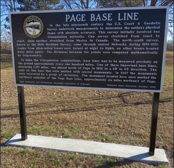
Nebraska Historical Marker: Page Base Line
Location
5th St & Main St, Page, Holt County, Nebraska
View this marker's location 42.400983, -98.417101
View a map of all Nebraska historical markers, Browse Historical Marker Map
Marker Text
In the late nineteenth century the U. S. Coast & Geodetic Survey undertook measurements to determine the nation's physical shape with absolute accuracy. This survey initially involved two triangulation networks. One survey stretched from coast to coast, while another stretched from Mexico to Canada. The north-south survey, known as the 98th Meridian Survey, came through central Nebraska during 1898-1901. Angles from observation towers were turned at night to lights on other towers located many miles apart. The distances between the points were computed mathematically by trigonometry.
To make the triangulation computations, base lines had to be measured precisely on the ground approximately every one hundred miles. One of these important base lines, measuring 5.127 miles, was placed north of Page in 1900 in a SW to NE direction. The ends of this base line were marked with special monuments. In 2007 the monuments were recovered by a group of surveyors. The monument located here once marked the northeast endpoint of the Page Base Line, approximately six miles northeast of Page.
Further Information
Bibliography
Marker program
See Nebraska Historical Marker Program for more information.
