Nebraska Historical Marker: Ogallala and the Platte Valley
Location
Rest Area I-80W milemarker 132, Roscoe, Keith County, Nebraska
View this marker's location 41.120222, -101.6037
View a map of all Nebraska historical markers, Browse Historical Marker Map
Marker Text
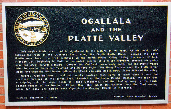
This region holds much that is significant to the history of the West. At this point, I-80 follows the route of the Overland Trail, along the South Platte River. Leaving the South Platte near here, the trail continued up the North Platte Valley, today the route of U.S. 26. Beginning in 1841, an estimated quarter of a million travelers crossed the plains over this great natural highway. Oregon and California were early goals, and the Platte Valley later became an important freighting and military route. The Pony Express used the Platte River Road, and when the first trans-continental railroad was completed in 1869, it too followed the valley. Nearby Ogallala was a wild and woolly cowtown from 1875 to 1885 while the northern terminus of the Texas Trail. Located on the Union Pacific Railroad, the town was a shipping point for great herds of Texas Longhorns, and the chief gateway to the newly opened ranges of the Northern Plains. Boot Hill, which still survives, was the final resting place for many who helped make Ogallala the Cowboy Capital of Nebraska.
Further Information
Bibliography
Norbert R Mahnken, “Ogallala—Nebraska’s Cowboy Capital,” Nebraska History 28 (1947): 85-109
Donald F Danker, “The Influence of Transportation upon Nebraska Territory,” Nebraska History 47 (1966): 187-208
Marker program
See Nebraska Historical Marker Program for more information.
