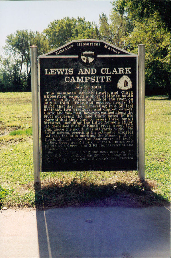
Nebraska Historical Marker: Lewis and Clark Campsite - July 15, 1804
Location
648A Ave, Brownville, Nemaha County, Nebraska
View this marker's location 40.395042, -95.65187
View a map of all Nebraska historical markers, Browse Historical Marker Map
Marker Text
The members of the Lewis and Clark Expedition camped a short distance south of here on the Nebraska side of the river, on July 15, 1804. They had covered nearly 10 miles that day, most traveling in a 55-foot keelboat, two pirogues, and dugout canoes. Clark and two men, however, walked along the river surveying the land. Clark noted in his journal that they had to cross three small streams, including the Little Nemaha River. He described it as "a Small river, about 100 yds. above the mouth it is 40 yards wide." He swam across, recording the extensive prairies between the hills marking the Missouri River floodplain. He noted the abundance of fruit: "I Saw Great quantities of Grapes, Plums, or 2 Kinds wild Cherries of 2 Kinds, Hazelnuts, and Goosberries." Soon after embarking the next morning, the expedition's keelboat caught on a snag in the river. Despite the delay, the explorers traveled 20 miles on July 16.
Further Information
Bibliography
- Gary E Moulton, “Lewis and Clark on the Middle Missouri,” Nebraska History 81 (2000): 90-105
Marker program
See Nebraska Historical Marker Program for more information.
