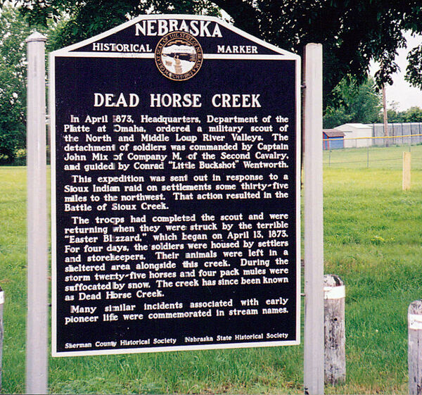
Nebraska Historical Marker: Dead Horse Creek
Location
Nebraska 58, Loup City, Sherman County, Nebraska
View this marker's location 41.271977, -98.97134
View a map of all Nebraska historical markers, Browse Historical Marker Map
Marker Text
In April 1873, Headquarters, Department of the Platte at Omaha, ordered a military scout of the North and Middle Loup River Valleys. The detachment of soldiers was commanded by Captain John Mix of Company M, of the Second Cavalry, and guided by Conrad "Little Buckshot" Wentworth. This expedition was sent out in response to a Sioux Indian raid on settlements some thirty-five miles to the northwest. That action resulted in the Battle of Sioux Creek. The troops had completed the scout and were returning when they were struck by the terrible "Easter Blizzard," which began on April 13, 1873. For four days, the soldiers were housed by settlers and storekeepers. Their animals were left in a sheltered area alongside this creek. During the storm twenty-five horses and four pack mules were suffocated by snow. The creek has since been known as Dead Horse Creek. Many similar incidents associated with early pioneer life were commemorated in stream names.
Further Information
Bibliography
Marker program
See Nebraska Historical Marker Program for more information.
