Difference between revisions of "Nebraska Historical Marker: Valleyview"
(Created page with "[[Image:________ |thumb|center|upright=3.0|alt=________]] ==Location== Rural Nebraska 96, Burwell, Loup County, Nebraska View this marker's location '''[https://maps.google....") |
m |
||
| Line 1: | Line 1: | ||
| − | [[Image: | + | [[Image:NHM_320_1_1.jpg|thumb|center|upright=3.0|alt=NHM_320_1_1.jpg]] |
==Location== | ==Location== | ||
Revision as of 14:03, 3 December 2014
Location
Rural Nebraska 96, Burwell, Loup County, Nebraska
View this marker's location 41.907537, -99.29943
View a map of all Nebraska historical markers, Browse Historical Marker Map
Marker Text
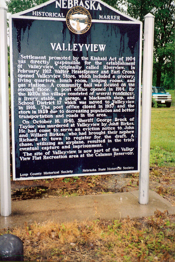
Settlement promoted by the Kinkaid Act of 1904 was directly responsible for the establishment of Valleyview, originally called Riverview. In February 1912 Walter Hesselgesser and Earl Cronk opened Valleyview Store, which included a grocery, living quarters, lunch room, lodging rooms, and gas station. A community hall was located on the second floor. A post office opened in 1914. By the 1920s the village consisted of several residences, a livery stable, a garage, a blacksmith shop, and School District 17 which was moved to Valleyview in 1916. The post office closed in 1937 and the store in 1939 due to decreasing population and better transportation and roads in the area. On October 16, 1940, Sheriff George Brock of Taylor was murdered at Valleyview by John Birkes. He had come to serve an eviction notice to John and Willard Birkes, who had brought their nephew Richard to town to register for the draft. A chase, utilizing an airplane, resulted in the trio's eventual capture and imprisonment. The site of Valleyview is now part of the Valley View Flat Recreation area at the Calamus Reservoir.
Further Information
Bibliography
Marker program
See the Nebraska Historical Marker Program for more information.
