Difference between revisions of "File:Webster Map.jpg"
From E Nebraska History
(Information = Detail of Dodge County map showing Webster P.O. Description = Detail of Dodge County map showing Webster P.O. taken from 1885 Kirk and Everts Map of Nebraska. Source = 1885 Kirk and Everts, Map of Nebraska, State Historic Preservation...) |
(No difference)
|
Latest revision as of 07:37, 16 January 2018
Information = Detail of Dodge County map showing Webster P.O.
Description = Detail of Dodge County map showing Webster P.O. taken from 1885 Kirk and Everts Map of Nebraska.
Source = 1885 Kirk and Everts, Map of Nebraska, State Historic Preservation Office, Nebraska State Historical Society
Date = 1885
Author = Unknown
Permission = Content is available under Attribution-NonCommercial-NoDerivs 3.0 Unported. See http://creativecommons.org/licenses/by-nc-nd/3.0/
File history
Click on a date/time to view the file as it appeared at that time.
| Date/Time | Thumbnail | Dimensions | User | Comment | |
|---|---|---|---|---|---|
| current | 07:37, 16 January 2018 | 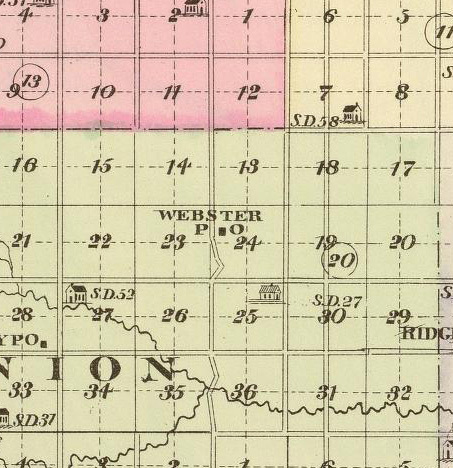 | 453 × 468 (101 KB) | Joelle (Talk | contribs) | Information = Detail of Dodge County map showing Webster P.O. Description = Detail of Dodge County map showing Webster P.O. taken from 1885 Kirk and Everts Map of Nebraska. Source = 1885 Kirk and Everts, Map of Nebraska, State Historic Preservation... |
- You cannot overwrite this file.
File usage
There are no pages that link to this file.